Logs Kept Simple is a free website and phone app for planning, tracking and logging outdoor trips: hiking, camping, paddling, climbing and more. This 11-minute video follows one real night hike, the Braeside walk at Blackheath in the Blue Mountains, from planning the route to looking back on how the group went against the plan.
 10:56
Chapters
- 0:00 Intro
- 0:51 What is Logs Kept Simple?
- 1:42 Plan the route
- 3:43 The paperwork: risk assessments, activity plans, journeys
- 4:43 Weather
- 5:32 On the track: the app
- 6:46 Log it
- 8:01 Look back: planned vs actual
- 9:43 For groups
- 10:28 Get started
Plan the route, leg by leg
Everything starts in the Route Planner. Drop waypoints on the map and the route follows the track between them, building up distance, time and elevation as you go. Switch to satellite or 3D terrain, turn a one-way route into an out-and-back, or split a long trip into days.
Every leg gets an estimated time that takes in track conditions and the climb and drop, and for paddling the current and wind, with the method written up in full. One click turns the route into a printable route card with grid references, bearings and arrival times. More on that in building a route card and route planning for leaders.
Before you lock it in, the closure checker compares your route with current NSW National Parks closures, and the Grid Reference Checker puts hand-written grid refs on a map so a wrong one stands out. See camping in NSW National Parks for more on checking alerts.
The paperwork: risk assessments, activity plans and journeys
Risk assessments start from a library of hazards and controls, so you are editing rather than writing from scratch, and you get a clean PDF. Activity plans fill in the nearest hospital and police station. The Journey Planner keeps an adventurous journey together and sends it to your approver without email attachments. Read risk assessments that actually work for the thinking behind it.
Weather that tells you what to pack
Pick a trip or search any town, park or peak for a 16-day forecast, Bureau of Meteorology warnings, an hour-by-hour view of the day, and first and last light. It reads the forecast for you (warm layer, rain jacket, sunscreen), and you can subscribe to a daily forecast email and warning alerts. Pair it with reading Australian weather.
On the track: the app, offline
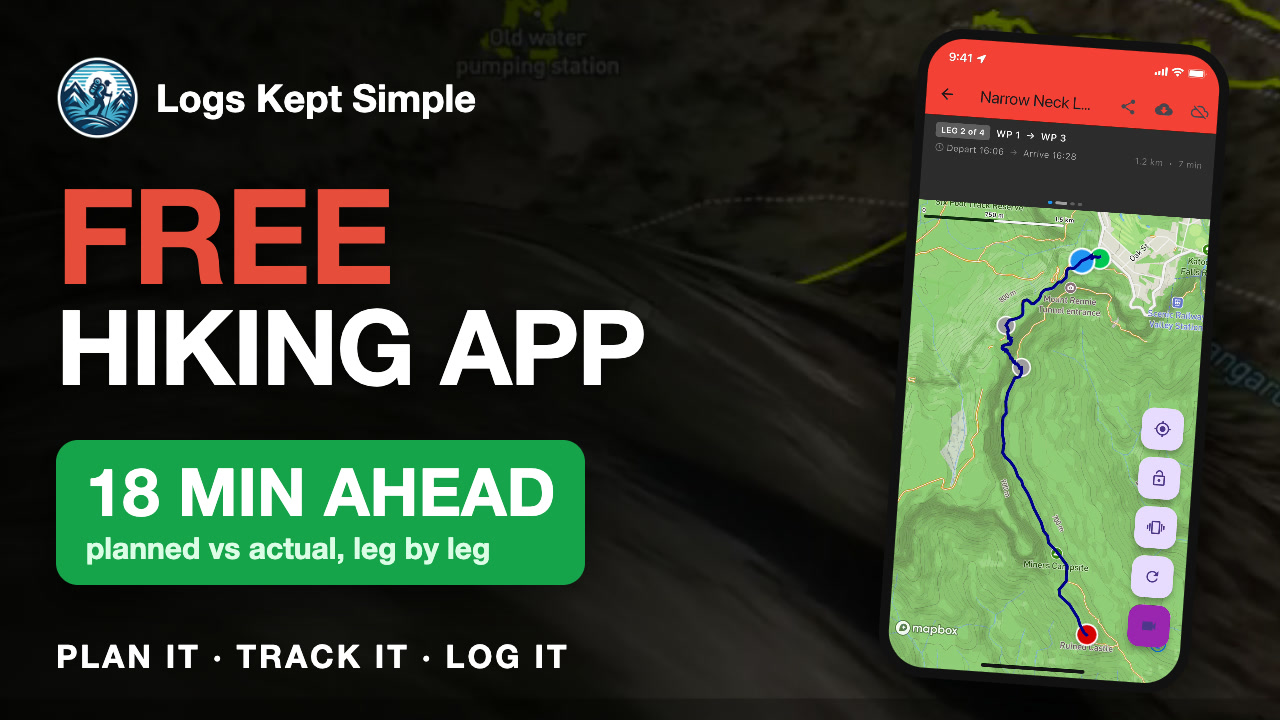
The route you planned is already in the app. Download it and the map area before you lose signal, then press start: the app records your track and filters out GPS wobble under trees and in gorges. Share the route with someone else in the group by QR code, with no signal needed. See navigating without signal and GPS tracking with the LKS app.
Log it without typing
Back in signal, the track uploads and Log Studio has the map, distance, time, climb and photos ready. Each activity type has its own fields, the Log Wizard logs a trip for a whole group, and Export Studio gives you a spreadsheet or PDF for an award or qualification. Why it matters: why activity logs matter.
Look back: planned vs actual
Because you planned the route and tracked the walk, Logs Kept Simple lines them up leg by leg: on Braeside the group finished 18 minutes ahead of plan, with one 18-minute snack stop. Green legs were quicker, orange slower, so next time your timings are better. More in what your GPS track shows and pacing group walks.
For groups and youth leaders
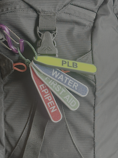
Set up your group and sections, log for the young people you take out, and see every member's kilometres and nights in one place. There is a Term Planner, a shared Knowledge Base, and PackAlert tags that show which pack has the first aid kit. See what leaders should log.
Get started
Logs Kept Simple is free, with no ads. Sign up at logskeptsimple.com.au, get the app by searching "Logs Kept Simple" on the App Store or Google Play, and plan your next trip tonight. For more short videos, follow Logs Kept Simple on YouTube.