You stop, look around, and nothing matches the map. What do you do next? Most people's instinct is to keep walking and hope something looks familiar. That instinct is how small navigation errors turn into big ones.
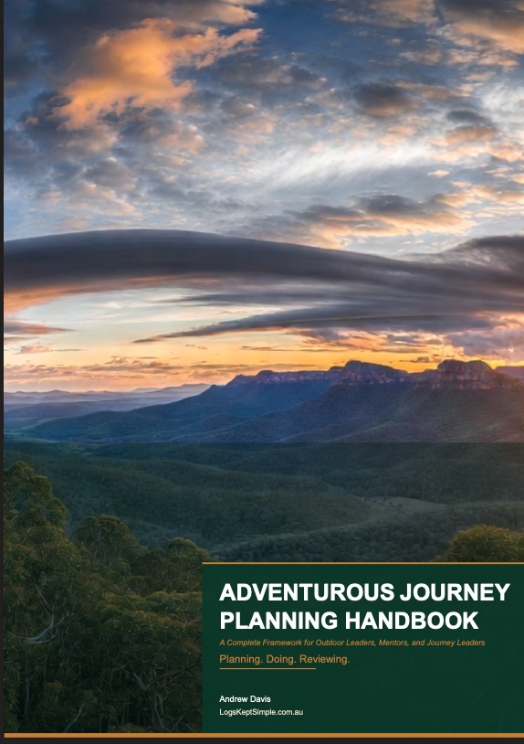
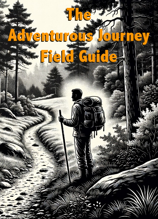
Here is the method from my free Field Guide to Adventurous Journeys, the one I teach after about 15 years as a Scout leader in the Blue Mountains, and over 40 years of Scouting.
 6:04
The Best Recovery Is Not Needing One
A good trip plan lists every waypoint with a 6-figure grid reference. At each waypoint, confirm your position before moving on. Don't trust the feeling that you're in the right place. (How to read a 6-figure grid reference covers the skill itself.)
- Identify the landmark on the ground: a saddle, a creek junction, a track junction or a prominent rock.
- Find the same landmark on the map.
- Work out its 6-figure grid reference from the map and compare it with the one in your plan.
- If they match, carry on. If they don't, stop and investigate before you move.
It takes about a minute per waypoint. Twenty waypoints over three days is twenty minutes, and it prevents more errors than anything else. In between, keep track as you walk: the feature to your left, the creek below, the ridge above. Use handrails and catching features.
When the Ground Doesn't Match the Map
Maps are good, but not perfect. A track may be closed, a permanent creek may be dry, and short cliffs may not show at all. At 1:25,000, 2 mm on the map is 50 metres on the ground.
So when things don't match:
- Stop moving first. Walking towards the problem can make it worse. Stop where you're still confident of your position and look at the situation from there.
- Fix your position with several features. One landmark on its own can be misidentified. Three that agree, like a bearing to a summit, a creek junction below and a ridge running a certain way, give a confident fix.
- Don't go on unless you're confident. The right track is not always just around the next corner.
Stopping for ten minutes costs very little. Thirty minutes of walking the wrong way costs a lot.
The Cardinal Rule: Return to Your Last Known Position
If you're off your planned track, how you got there matters less than what you do next. The cardinal rule is to return to your last known position.
Don't try to navigate to the right track from an unknown spot. Retrace to where you were last sure, then navigate forward from there. And keep the group together the whole way.
Three Mistakes That Make It Worse
- Carrying on in the hope you'll recognise something.
- Assuming the person with the most confident voice is right.
- Splitting the group to search in different directions.
And don't rely on GPS alone. Batteries die, gorges and thick canopy block the signal, and devices get dropped in creeks. Your map and compass are the main tools. GPS is the backup. Navigation when there is no phone signal covers preparing your maps before you go.
If It Becomes an Emergency: STOP
If someone's hurt, or you can't get yourselves out, switch to your emergency plan. The Field Guide starts with STOP:
- Stop: halt the group and secure the area.
- Think: what has happened, and what do you have?
- Observe: the patient, the scene and the conditions.
- Plan: decide, assign roles, communicate and act.
Before you left, you assigned emergency roles. Now name them out loud:
- A first aider to assess and treat.
- A group supervisor to keep everyone else calm and safe.
- Someone on communications.
- You, managing the incident.
It's not bureaucracy. It's the difference between a group that works under pressure and one that freezes.
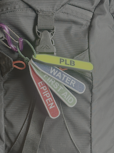
Try your communications in order: a mobile, moving one person to higher ground for signal if needed, then a satellite communicator, then a PLB. When to activate a PLB explains the threshold and what to do once it's on, including clearing a landing area at least 30 metres across if a helicopter may come.
What Rescuers Need From You
When you call 000, they'll need six things. Write them down, because recall is unreliable under stress.
- Your location: a 6-figure grid reference, the map and a description. A what3words address can stand in for the grid reference, but add a description either way.
- What happened, and when.
- The patient's condition.
- How many are in your group.
- Whether you'll stay contactable.
- Your resources: first aid, shelter, water and daylight.
Your emergency contacts should already have your plan, your intended daily positions, your planned check-in times and your trigger time: the time they'll call for help if they haven't heard from you. Trip intentions: what to leave and with whom covers setting that up.
Practise Before You Need It
Reading grid references quickly takes practice. On your next walk, write down the reference at each landmark, check them in the free Grid Reference Checker when you get home, and see how close you were. The checker places the pin. Your own map reading still makes the call.
Everything here is in the free Field Guide to Adventurous Journeys, with printable pocket cards for your pack. Read it before you go, not during an emergency.
Frequently Asked Questions
What should you do first if you're lost in the bush?
Stop moving. Stay where you're still confident of your position, then use several features to work out where you are before going anywhere.
Should you keep walking to find the track?
No. Return to your last known position and navigate forward from there. Don't try to find the right track from an unknown spot.
Should a lost group split up to search?
No. Splitting the group to search in different directions is one of the three mistakes that turn a small error into a big one. Keep everyone together.
Can I rely on my phone's GPS?
Use it as a backup only. Batteries die, gorges and thick canopy block the signal, and devices get dropped in creeks. Your map and compass are the main tools.